
Snohomish County ZIP Coverage
The county-serving set spans dense south-county cities, Everett's several delivery zones, rural river towns, and mountain communities. The place in a postal label is a service name, not a legal border. Verify a specific address with the USPS postal lookup and then check county GIS when jurisdiction matters.
| ZIP | Areas Covered | Post Office | Notes |
|---|---|---|---|
| 98012, 98021 | Mill Creek and Bothell | Local USPS delivery units | City, growth-area, and county lines may differ |
| 98026, 98036, 98037, 98043, 98087 | Edmonds, Lynnwood, Brier, Mountlake Terrace | South county post offices | 98087 overlaps the unincorporated urban fringe |
| 98201, 98203–98208 | Everett | Everett delivery units | 98206 and 98207 need address-level verification |
| 98223, 98241, 98251, 98252 | Arlington, Darrington, Gold Bar, Granite Falls | Named community post offices | Mountain and rural routes may span broad areas |
| 98258, 98270, 98271 | Lake Stevens, Marysville, Tulalip | Local USPS delivery units | 98271 is paired with Tulalip and Marysville |
| 98272, 98293, 98294 | Monroe, Startup, Sultan | Sky Valley post offices | 98293 is a limited-service or PO box reference |
| 98275, 98287, 98290–98292, 98296 | Mukilteo, Silvana, Snohomish, Stanwood, Cathcart | Named community post offices | 98291 is a PO box type reference |
Other edge codes demand care. Woodinville mailing areas can cross into unincorporated Snohomish County. Camano Island's 98282 may appear in a regional planning table, but Camano is in Island County. That does not make it a Snohomish resident ZIP. Codes such as 98213, 98256, 98259, and 98287 may represent PO box or limited service, so the exact street address should control.
Everett ZIP Code Directory
Everett's standard delivery cluster includes 98201, 98203, 98204, 98205, and 98208. The county seat core uses 98201, while the other codes divide south, west, and east delivery areas. The research also found 98206 and 98213 as PO box or limited-service references. It found 98207 in county-serving data, but no exact delivery type in an official page.
Do not force an uncertain code into a neighborhood boundary. Enter the full address in USPS lookup, then inspect the parcel in SCOPI. An Everett mailing label may still need an annexation or service-provider check before selecting a city permit office.
South Snohomish ZIP Edges
South county shows why postal directory results should not be treated as city maps. Lynnwood appears through 98036, 98037, and 98087; Brier is paired with 98036; Mountlake Terrace uses 98043; Edmonds uses 98026. Mill Creek and Bothell share the 98012 service area, and a Snohomish County portion of Bothell also uses 98021.
Woodinville labels at 98072 and 98077 can include county-edge or unincorporated addresses. The post office name alone will not identify the permit custodian, taxing district, or city government. Use the parcel as the join point, especially when a resident search concerns a city record rather than mail delivery.
Sky Valley ZIP Code Directory
The east county route follows communities with very different settlement patterns: Monroe 98272, Sultan 98294, Startup 98293, Gold Bar 98251, Index 98256, and Darrington 98241. Startup and Index have limited-service or PO box references in the research. A business or family may use a postal box while a deed identifies rural land by parcel or legal description.
ZIP geography is less useful on large rural tracts than it is on a tight town grid. County assessor and deed sources can connect a name to land, but they do not prove who occupies it. Census enumeration districts, historical directories, and local archives may be better tools for older residents along river or mountain routes.
Search Snohomish Residents by ZIP
No county portal publishes a universal ZIP-wide resident roll. The PDS Map Portal is the one documented county tool with a postal field inside Find an Address, and it applies only to unincorporated property. Assessor and SCOPI instructions focus on address, owner, and parcel. VoteWA is a personal status portal that needs first name, last name, and date of birth, not a public ZIP filter.
- Verify the full address through USPS. Save the standardized city, state, and ZIP result.
- Check SCOPI or the Assessor Property Summary Search by address. Record the parcel ID and situs address, which means the physical parcel location.
- For unincorporated land, enter street, city, and ZIP in PDS Find an Address. Open the highlighted parcel and run its property report.
- Move from the verified parcel to a lawful name search in the proper office. Do not infer every household member from an owner's name.
Once a ZIP has narrowed the place, the Snohomish County street directory explains the street-level parcel path. That keeps a delivery-area search from being mistaken for a list of all residents.
Snohomish ZIP Search Fields
The PDS Map Portal guide documents the fields that work for unincorporated property. Find an Address can combine a street, city, and postal code; Search By can also use a parcel or permit reference.
| Field | Input type | Required | Use |
|---|---|---|---|
| Street Address | Text | Not stated | Find a known delivery address |
| City | Text | Not stated | Narrow like-named streets |
| Zip | Text | Not stated | Refine the address search |
| Parcel number | Search By option | Choose one search route | Open a known tax parcel |
| Permit or type | Search By option | Choose one search route | Find an unincorporated project |
| Township/Range/Section | Search By option | Choose one search route | Locate land without a useful street address |
After highlighting the parcel, Run Property Report returns zoning, critical-area, and service-provider context. It does not turn the ZIP into an occupant list.
Snohomish ZIP Parcel Clues
A verified ZIP still needs a parcel match. In SCOPI, some condominium sites and common areas appear as a Shared Interest Parcel. Other map gaps are labeled Not a Legal Tax Parcel. A subdivision or assembled property may display Multiple Parcels (Click for Info) rather than one neat house-number result. These labels are not proof that a property lacks an owner. Open the associated accounts, compare the situs address, and preserve each parcel ID before moving to another county system.
This step matters because the parcel identifier links the Assessor, SCOPI, Auditor, and PDS records more reliably than a postal label does. Lot, block, subdivision, or a metes-and-bounds legal description can survive after a street name or mailing city changes. The physical location is the situs address. The mailing address is where the tax notice goes, and it may belong to an owner far from the parcel. Neither field identifies all residents. When a ZIP search reaches an odd map shape, follow the parcel relationship instead of flattening several accounts into one household.
County geography also decides which map can help. The PDS portal covers unincorporated Snohomish County, while incorporated cities keep their own permit systems. If annexation moved an address into a city, an older county file can still use the former place label. Current postal verification, the county parcel, and the dated record must be read together.
Verify a Snohomish ZIP
The USPS address lookup is the authority for the delivery code on one current address. County planning tables and regional service maps are useful leads, but they may group places for health, elections, or program delivery rather than postal assignment.
The USPS lookup pictured below is the proper first check when a Snohomish County postal code is uncertain.
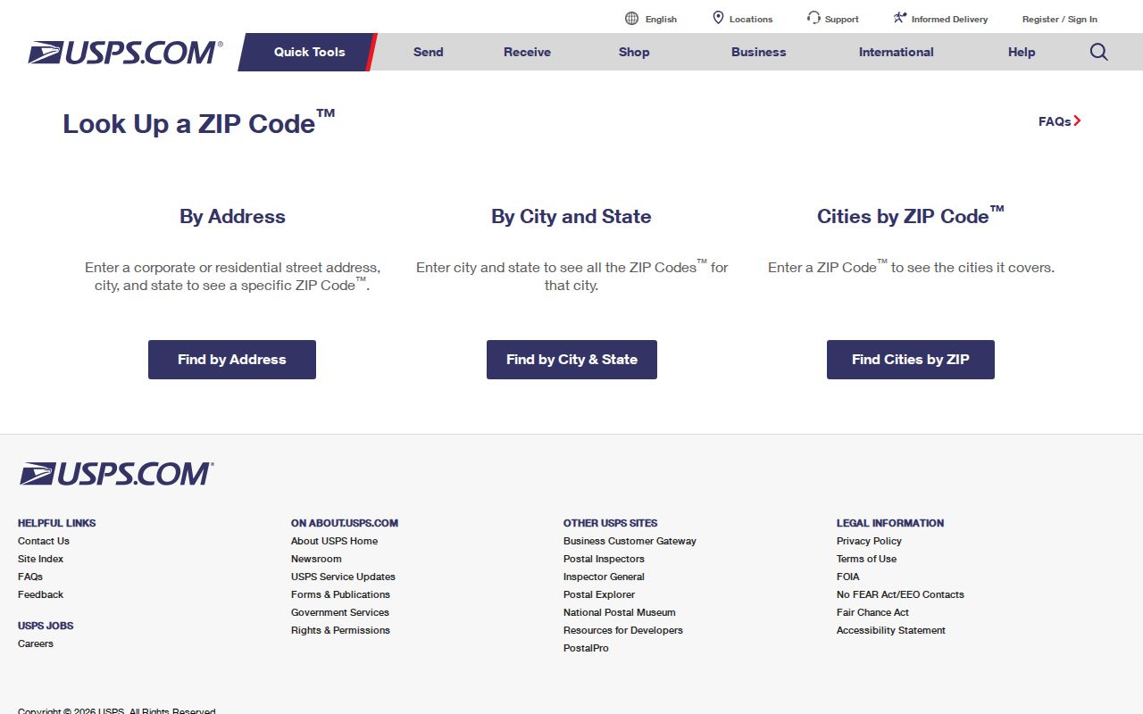
Carry the standardized result into county maps. A valid postal result still does not decide whether city or county PDS keeps the permit file.
Snohomish ZIP Geography Traps
Hat Island exposes a sharp mismatch. Research notes that King County GIS reported 98260 was removed from Hat Island near Everett, which uses 98201. Treat 98260 as a warning to confirm the exact address rather than a stable island label. Regional tables can also include Camano Island 98282 even though that island is geographically in Island County.
These are not minor spelling issues. A wrong county assumption sends the search to the wrong assessor, permit office, archive, and court. Preserve the source and date whenever an edge ZIP is important.
Snohomish ZIPs Versus City Limits
Postal boundaries and government boundaries answer different questions. USPS routes mail. City lines assign municipal services, while county records follow parcels, districts, and incorporated status. Annexation can change the permit office or service provider without erasing an older deed label. This is why a Lynnwood, Bothell, Woodinville, Snohomish, or Everett mailing address may still need a county map check.
- ZIP and ZIP+4
- A five-digit delivery area and a more precise nine-digit delivery segment.
- PO-box ZIP
- A code used chiefly or only for post office boxes, not a mapped set of homes.
- Unique ZIP
- A code assigned to one high-volume organization rather than a normal neighborhood.
- Carrier route
- The delivery path assigned to a postal carrier, which can cut across other boundaries.
Census ZCTAs are generalized statistical polygons built from postal geography. They are useful for counts and comparisons, but not for proving the current delivery code of one parcel. The Snohomish County ZIP code directory should always end with address-level USPS and parcel checks.